

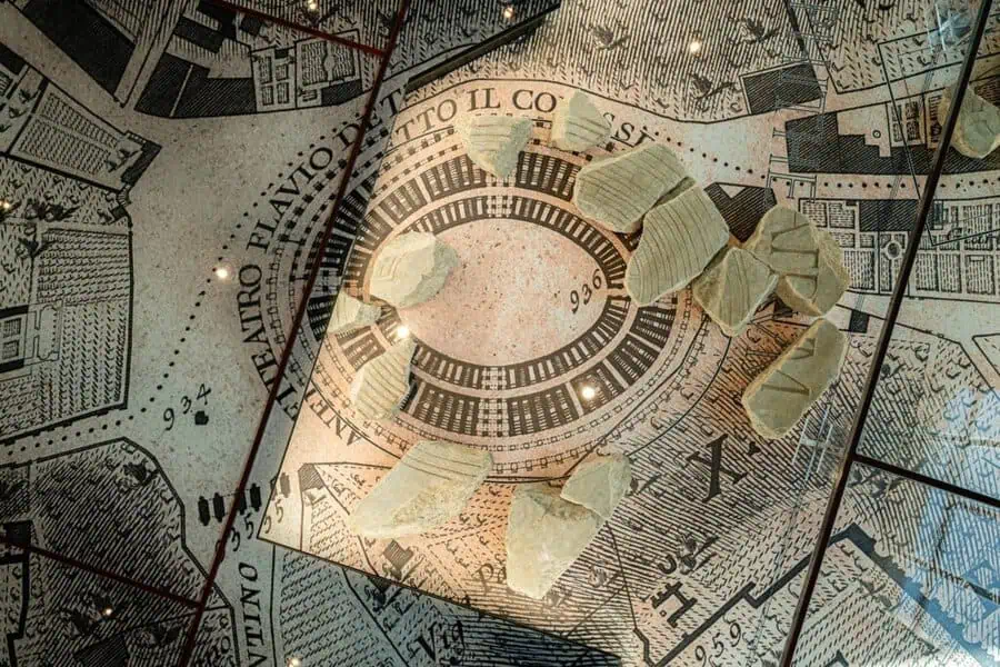
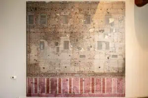
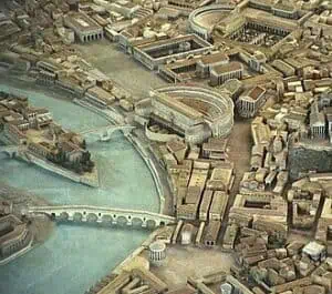
What if a city map could preserve the outline of buildings that vanished nearly two thousand years ago? In Rome, the answer survives in fragments of marble. The Forma Urbis Romae was an enormous plan of the imperial capital, carved in the early third century CE and once displayed on a monumental wall. Although much of it has been lost, the surviving pieces continue to offer archaeologists evidence for streets, temples, baths, houses, and public buildings that no longer exist above ground.
Unlike a modern map designed primarily to help people find their way, the Forma Urbis was a carefully carved record of Rome’s built environment. Its purpose, exact original arrangement, and audience remain subjects of study, but its detail makes it one of the most important sources for understanding the physical shape of ancient Rome.
What was the Forma Urbis Romae?
The Forma Urbis Romae, usually translated as the “Map of the City of Rome,” was created during the reign of Septimius Severus, probably between the late second and early third centuries CE. It was made from hundreds of marble slabs and represented a large area within Rome’s imperial walls.
The map did not show the surrounding countryside or the wider Roman Empire. Instead, it concentrated on the city itself. Streets, rooms, courtyards, porticoes, stairways, and monumental complexes were represented through engraved lines and shapes. Many structures were shown from above, allowing the plan of their interiors to be recorded in a way that a conventional street-level image could not.
This makes the Forma Urbis different from a commemorative relief or a decorative city scene. It was a precise architectural document, even though it was created in a visual language very different from that of modern cartography.
A marble map on the wall of the Temple of Peace
Ancient sources and archaeological evidence connect the original map with the complex known as the Temple of Peace, built under the Flavian emperors near the Roman Forum. The monument was part of an important imperial landscape that included libraries, gardens, and spaces for displaying works of art and objects connected with Rome’s power.
The marble map was fixed to an interior wall of the complex. Its scale was large enough to represent individual buildings in considerable detail, but the arrangement was not intended to function like a street atlas in the modern sense. The map’s placement suggests that it may have had an administrative, scholarly, or ideological role, presenting Rome as a city that could be measured, ordered, and understood.
Its location also helps explain why the map did not survive intact. Fires, earthquakes, rebuilding, and the gradual dismantling of ancient monuments changed the area repeatedly. Marble slabs were removed from the wall, broken, reused, or buried, separating the pieces from their original positions.
How fragments of the map were rediscovered
The surviving fragments were not recovered as a complete archaeological puzzle. They emerged at different times and in different circumstances, often without the original arrangement that would have made them immediately easy to interpret. Some pieces were reused in later buildings, while others remained underground for centuries.
The study of the Forma Urbis therefore depends on comparison. Researchers examine the carved lines, the thickness of the marble, the shape of breaks, and the relationship between letters, walls, and architectural plans. They then compare these clues with known monuments, excavation results, ancient texts, and the modern streets of Rome.
This work has sometimes allowed scholars to identify the outlines of buildings that left few other traces. A fragment that seems abstract on its own may become meaningful when placed beside a known temple, a surviving foundation, or an ancient inscription. The process is less like reading a finished map than reconstructing a vast architectural archive from scattered pages.
Why the Forma Urbis still matters to archaeology
The importance of the ancient Roman marble map lies in the connection it creates between the city that existed and the city that survives. Modern Rome occupies many of the same hills and valleys as its imperial predecessor, but centuries of construction have buried or erased much of the ancient urban fabric.
The Forma Urbis can preserve the plan of buildings that were later demolished, transformed, or covered by newer structures. It can also reveal how densely different parts of Rome were built and how public monuments related to residential and commercial spaces. In some cases, the map provides a framework for interpreting archaeological discoveries made long after the marble fragments were carved.
It is not an infallible guide. Missing pieces, uncertain orientations, and the conventions used by its ancient creators all require careful interpretation. Yet that uncertainty is part of its value. The map encourages scholars to test ideas against physical evidence rather than treating the ancient city as a perfectly known landscape.
From ancient city plan to modern museum
Today, the fragments are best understood not as isolated pieces of stone but as parts of a much larger image. Displaying them together allows visitors to appreciate both their artistic craftsmanship and the intellectual ambition behind the project. Each engraved line represents an attempt to record the complexity of Rome, from monumental public spaces to the rooms and corridors of ordinary buildings.
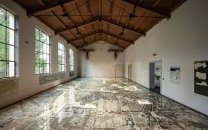
The newly opened Forma Urbis Museum provides a setting in which this evidence can be viewed alongside the archaeological landscape of Rome. Its location near the Colosseum places the map within the same urban environment it helps us investigate: a city where ancient foundations, later monuments, gardens, and modern streets overlap.
Explore the Forma Urbis Romae with World Virtual Tours
The history of this ancient Roman marble map comes into sharper focus when its fragments are considered alongside the places they once described. World Virtual Tours explores that connection in “FORMA URBIS in Ancient Rome: Google Maps in Marble”, an English-language VideoWalk hosted by Alba S., a PhD in Archaeology and licensed tour guide in Italy. Through the live-stream experience, viewers can examine the museum, its garden, and the surviving evidence while learning how archaeologists use the map to reconstruct Rome’s lost urban landscape.
Meet your World Virtual Tours guide: Alba.
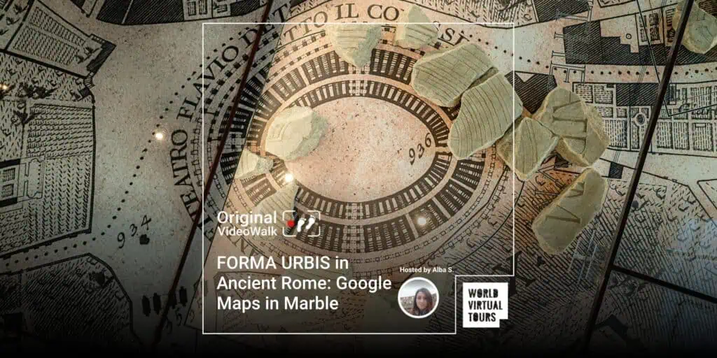
Explore the upcoming tour: FORMA URBIS in Ancient Rome: Google Maps in Marble


 ENSURE you DID IT in the previous step

 and
get the Zoom Link directly
and
get the Zoom Link directly 

